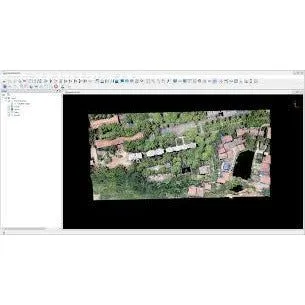
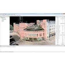
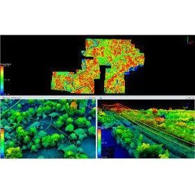
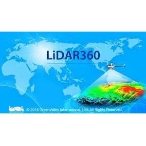
LiDAR360 is a comprehensive point cloud post-processing software developed by GreenValley International. It is designed to provide advanced solutions for handling and analyzing LiDAR (Light Detection and Ranging) data. LiDAR360 offers a range of tools and functionalities that make it an essential software for professionals working in various fields such as forestry, geography, urban planning, and environmental studies.
| LiDAR360 Professional Full Suite | LiDAR360 Professional (Include Framework, Terrain, Forestry, Powerline, Mine, 3D Building and Photo Modules) | |
| LiDAR360 Professional | LiDAR360 Professional (Include Framework, Terrain, Forestry, Powerline, Mine and 3D Building Modules) | |
| LiDAR360 Annual Subscription | LiDAR360 Annual Subscription (Include Framework, Terrain, Forestry, Powerline, Mine and 3D Building Modules) | |
| LiDAR360 Quarterly Subscription | LiDAR360 Quarterly Subscription (Include Framework, Terrain, Forestry, Powerline, Mine and 3D Building Modules) | |
Please note the pricing is based on USD converted to CAD and can vary depending on the exchange rate at the time of purchase. Please contact our team for an accurate price quote.
Key Features:
- Advanced LiDAR Data Processing: Offers robust tools for processing and analyzing LiDAR data efficiently.
- User-Friendly Interface: Designed with a user-friendly interface, making it accessible for both beginners and experienced users.
- Versatile Application: Suitable for a wide range of industries requiring detailed LiDAR data analysis.
- Comprehensive Support: Includes a detailed user guide, release notes, and tutorials to assist users in maximizing the software's capabilities.
Additional Information:
- LiDAR360 is ideal for professionals who need to process and analyze large volumes of LiDAR data with precision and ease.
- The software is constantly updated with the latest features and improvements, ensuring users have access to cutting-edge LiDAR processing technology.
LiDAR360 is a powerful tool for anyone looking to leverage the full potential of LiDAR data in their projects, offering precision, efficiency, and ease of use.


